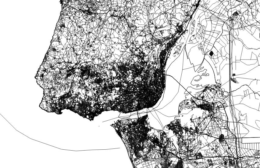
Map tiles by Stamen Design, under CC BY 3.0 | © OSM contributors
Are you still doing your own processing just to extract an area of interest from the global OpenStreetMap dataset? You can put your computing efforts toward other tasks because Metro Extracts provides OpenStreetMap data clipped to the size of your city or region.
You’re intrigued by Metro Extracts, but could use help getting started. Which Metro Extracts formats are available and which one should you download? How can you effectively filter the data into a usable map? Get answers to these and many other questions in this new tutorial, Extract OpenStreetMap data for display in QGIS.
Mapzen built this tutorial to walk you through the process of choosing from the available formats and loading the extracted files into QGIS, a free and open-source desktop GIS application. In the exercises, you will use QGIS to explore the contents of Metro Extracts files, including viewing the OpenStreetMap attributes, performing queries on the data, and changing the symbols used to represent the features. It should take you about an hour to work through the tasks and build a map.
As part of Mapzen’s commitment to open source and open data, the documentation for Mapzen’s projects are in public GitHub repositories, along with the software code. The Metro Extracts tutorial is in the mapzen/metroextractor-cities repository. If you have any comments on the steps, you can drop a note as a GitHub issue, or fork it and add your own exercises.
You can find the tutorial at https://mapzen.com/documentation/metro-extracts/walkthrough/.
This post was updated on April 27, 2016.
