Hello from the San Francisco Bay Area, where half of the ground is heading northbound and the other is inching southward. (Remember from elementary school? That’s what causes earthquakes.) Also epically disjoint is our mass transit: over 30 public agencies, an ever-increasing number of private shuttles, not to mention jitneys and carpools for those in the know.
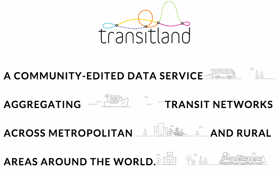
At Mapzen, we’re trying to make sense of the jumble here in the SF Bay Area—and in the many other parts of the world with puzzle-like transit systems—using open-source software and open data. The name of our new effort: Transitland.
Transitland aggregates existing geographic and temporal data from authoritative sources, connecting together common records using common identifiers. And with Transitland, we’re equipping ourselves, our collaborators, and perhaps also you, to edit and improve this “community datastore” with knowledge from boots on the ground. It’s with these station locations, agency identifiers, and route schedules that we can join together the “tectonic plates” of mass transit in the SF Bay Area and around the world.
Every piece of Transitland is open. We welcome you to use the data and the tools to build your own apps, gadgets, visualizations, journey planners, and analyses.
Start where you are
Are you a transit enthusiast or planner, interested in browsing the range of data available in Transitland? Read about our Playground and give it a try.
Are you a software developer, interested in Transitland’s tooling? See our “how it works” diagram, with links to GitHub repos.
Are you a transit data expert, interested in how Transitland joins feeds, operators, stops, and routes from disparate sources? Read more about our Onestop ID scheme and its most important ingredient, the geohash.
And do keep in touch
Join us at transit.land and @transitland
