making things. saying things.
Geocoding for Polyglots
We now support transliterated names, not only in the input query, but the output results as well, thanks to geodisambiguation.

A "data-driven" approach to improving map-matching, Part II
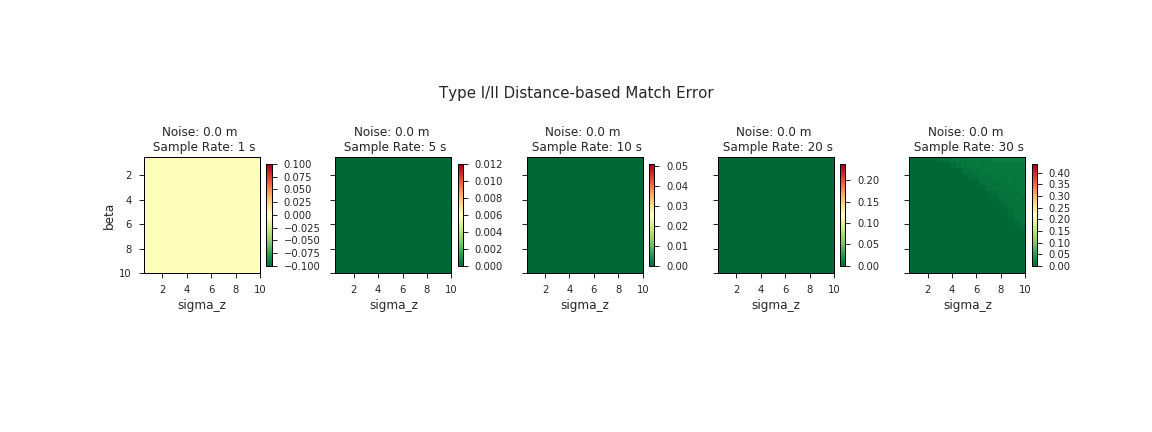
In part two of how Mapzen validates, fine tunes, and deploys our map-matching, we'll dive a bit deeper into the internals of the algorithm itself to see how we can use our validation metrics to fine-tune the map-matching parameters.
TransitFlow — using Python and Processing to visualize regional transit frequency
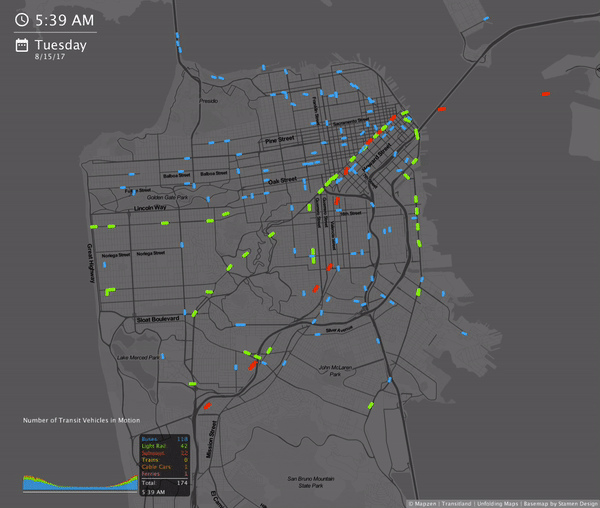
Transitflow is an experimental set of tools that generate spatial-temporal transit frequency datasets and visualizations from the command line.
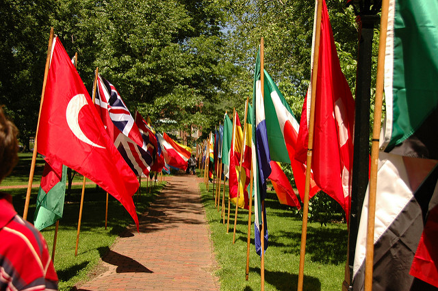
Searching the Summer
I opened that box on a map with a magnifying glass icon, and uncovered five importers, three microservices, and hundreds of Node modules. I was in awe.
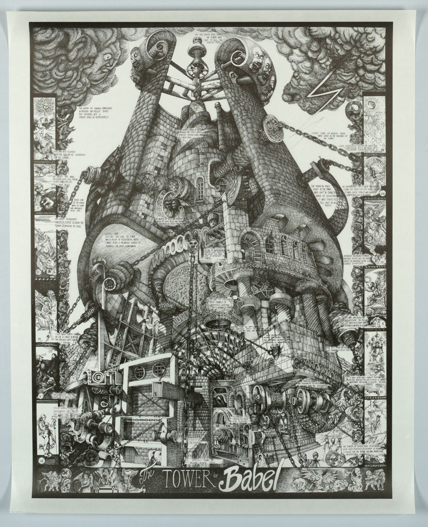
Painting Terrain with Kinkade
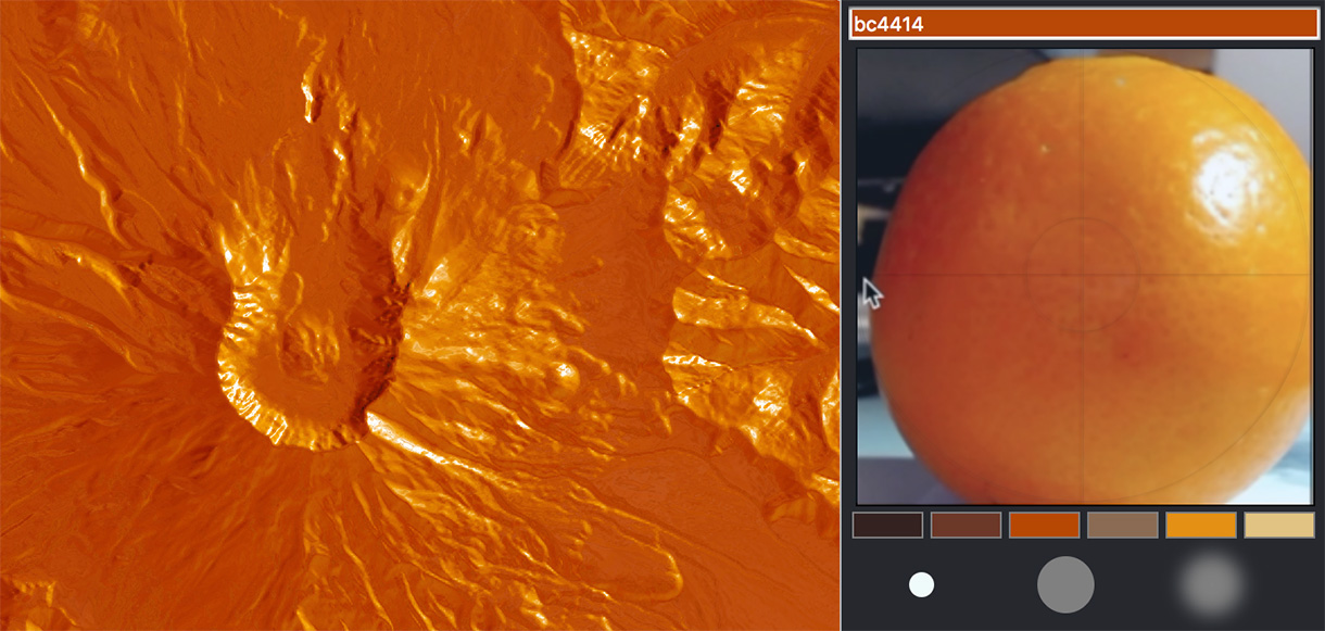
Pestering fruit with flashlights may not sound related to mapping, but when you work with mapping software for a while, everything starts to look like a map.
New and improved bike routing, with low stress options
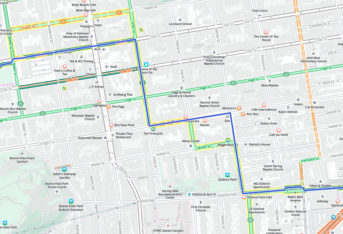
This summer, we have enhanced bicycle costing. Not only is overall routing improved, but `use_roads'` and `use_hills` are now much more versatile.
Increasing Name Translations in Who's On First
Outlining and visualizing the work we've done to increase name translations in the Who's On First gazetteer.
A "data-driven" approach to improving map-matching, Part I
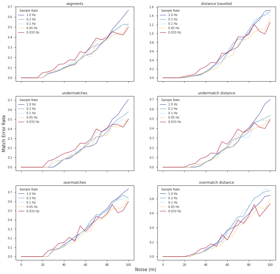
We wanted to take some time to explain exactly how map matching works, and how we use it. This will be the first in a series of three blog posts on how Mapzen validates, fine tunes, and deploys our map-matching services to meet the needs of our users.