making things. saying things.
Themes come to Mobile!
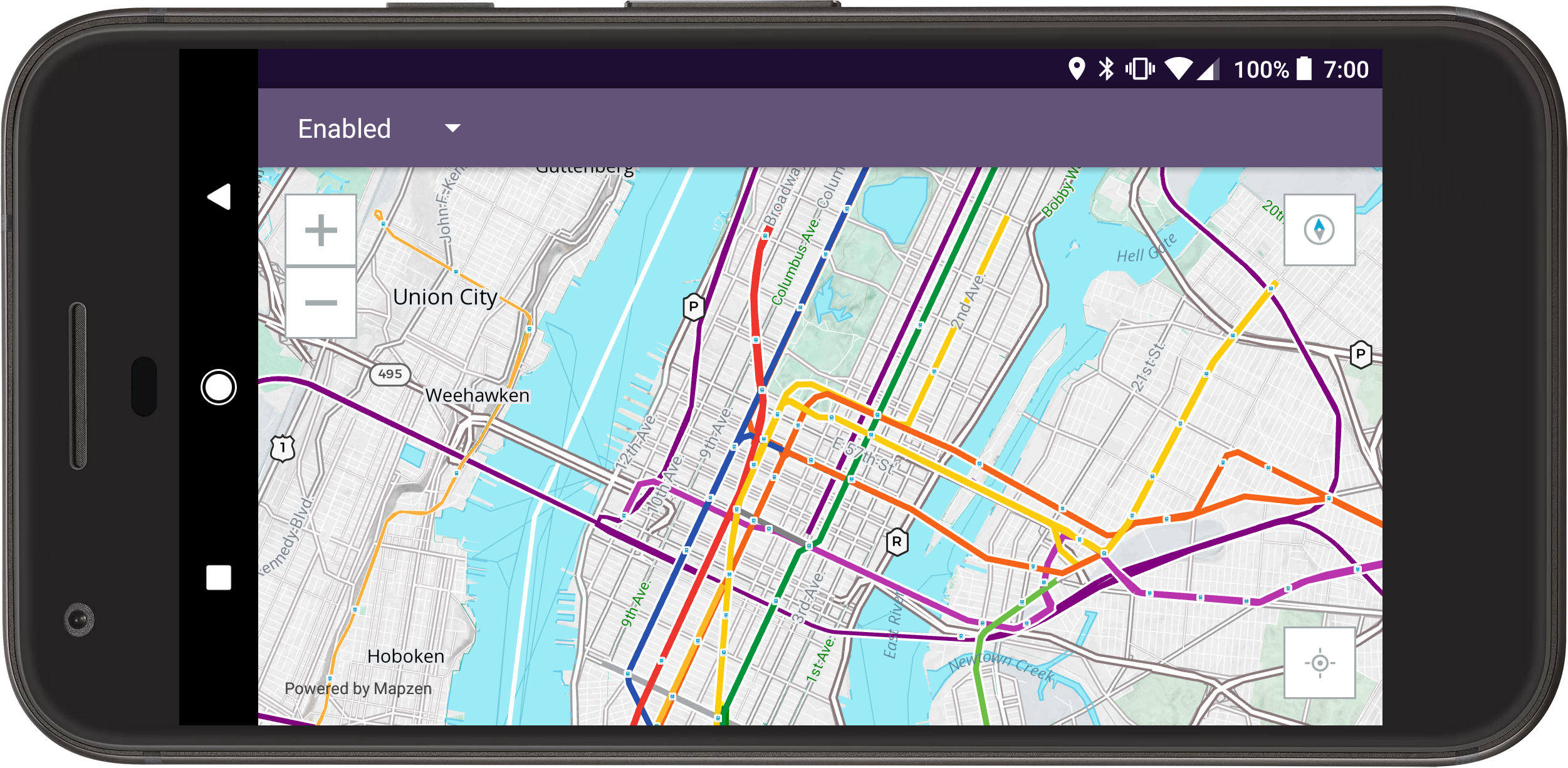
Our Mobile SDKs on Android and iOS now support easy customizable color, label, and detail level themes across all our style sheets!

State of the Map US 2017 - OSMLR and Who's on First and You

If you weren't able to make in to Boulder for SOTMUS 2017, videos of all the talks are now online!
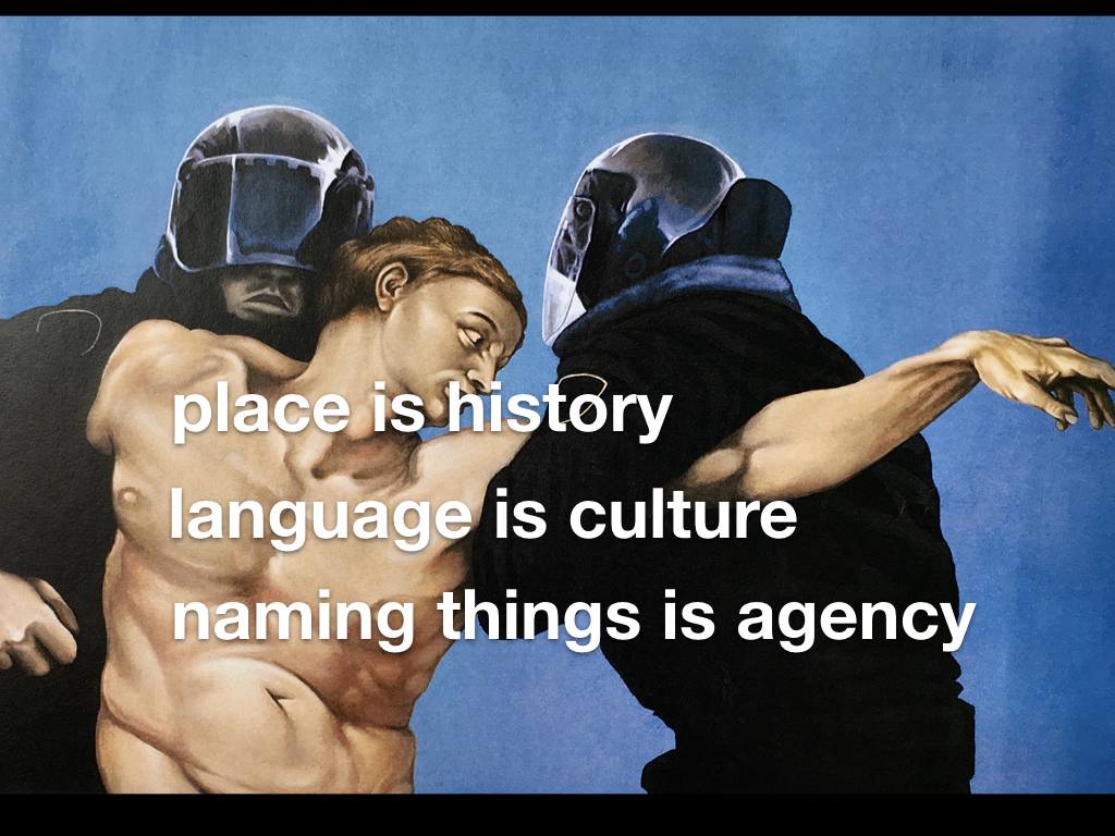
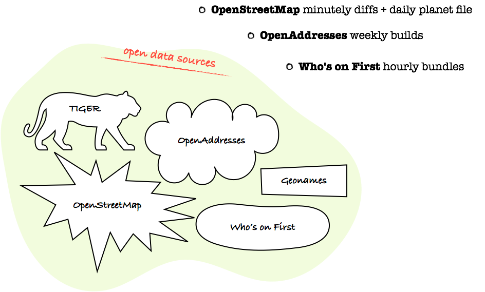
Who's On First ꞉fist-bump꞉ OpenStreetMap

The 70s were weird like that in a way that we don’t have time to discuss today except to say that Who’s On First would like to be the bucket of water to OpenStreetMap’s giant eagle.
OSMLR hits a "mile marker" (and joins AWS Public Datasets)
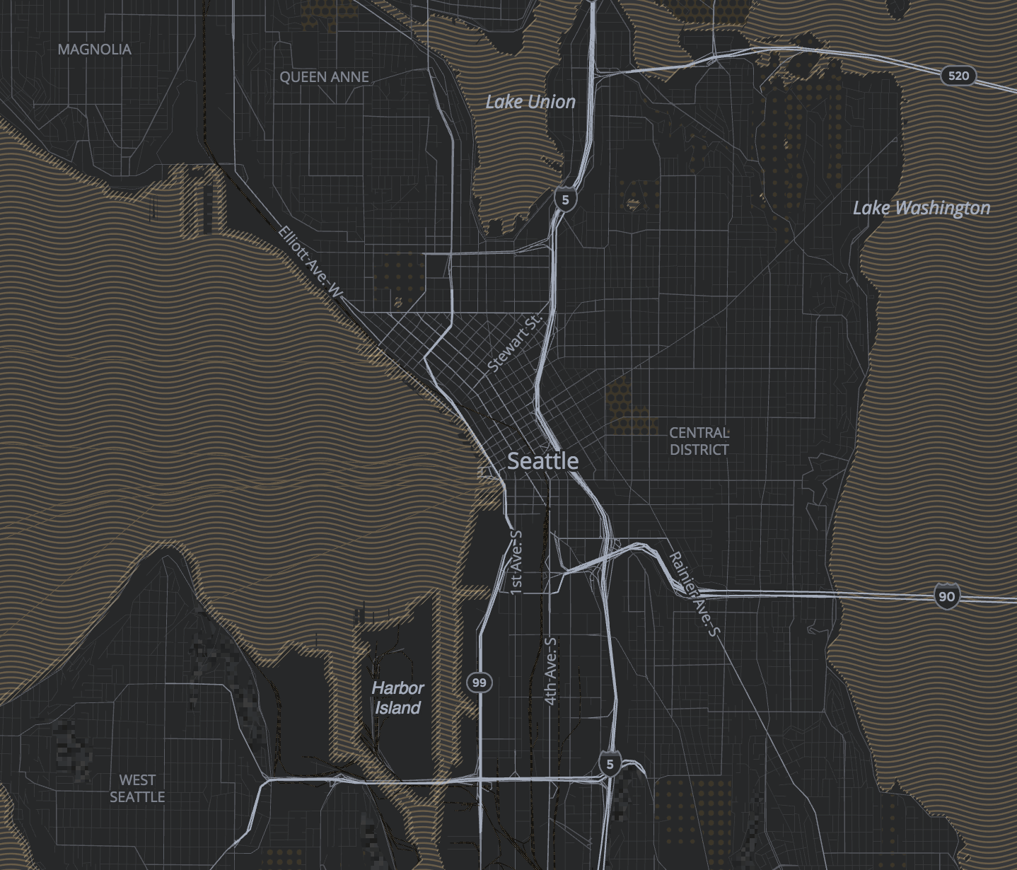
Mapzen is collaborating with Amazon Web Services to release OSMLR segments through their Public Datasets program. Use OSMLR segments and IDs to attach your dynamic data to almost any stretch of roadways in OpenStreetMap, anywhere in the world.

Analyzing historical transit service & GTFS publishing practices in Transitland
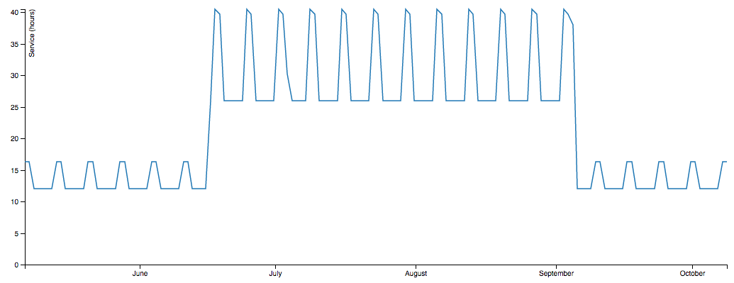
This summer we added 3,000 historical GTFS feed versions to Transitland, stretching back to 2008. Interesting patterns are emerging!