Everybody can use elevation data, and Mapzen is here to help.
How often have you ended up on a spontaneous hiking adventure on a path you’ve never been on before? You only live once right? You may never have the chance to take this hike again. Did it go a little something like this maybe?
“This won’t take long at all!”
“OK this is steeper than I thought but we’re still making good time.”
“Wow this is steep.”
(You get to the crest of a hill… only to see a valley and then another hill.)
“Hey, this is just how R2D2 and C3PO felt like as they got to the top of that dune and saw another dune!”
(No one laughs.)
(It starts to get dark.)
(Your significant other is no longer talking to you.)
It would have been nice to be able to see what the journey ahead was before you started. Maybe even an elevation chart to look at before deciding to plunge into your adventure? We now have some tools to help you with that on your next outing, so start clicking!
What’s that journey going to look like?
Just zoom and click to add points on the map to generate an elevation chart. (Hit ‘clear’ to start a new route.)
So how did we do that?
There’s an API for that
To help ease your pain, we’ve released an elevation service! The service currently responds with the height and distance along the shape used to query the elevation data source. There’s also an option to interpolate points at a regular interval along the input shape. Given that distance and height, one can visualize an elevation profile along a particular path, as shown in the widget above. All you need to get started is a series of lat,lons or an encoded polyline (from a Valhalla route perhaps), and an API key.
How does it work?
We’ve aggregated SRTM, GMTED, and NOAA ETOPO1 data to provide near-global elevation and bathymetric coverage for you, meaning you can focus on integrating the data in your maps rather than configuring GDAL. Let us know where we can improve the data!
Note that the elevation service can return results not just across a valley, but also a city or a continent!
Check out the elevation service documentation for sample requests and API documentation, or drop us a line at [routing@mapzen.com] if you have any questions or suggestions or improvements!
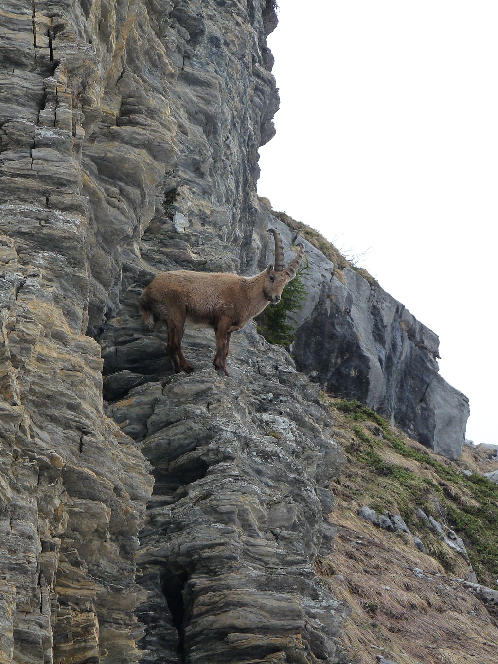
mountain goat via rotatebox
Note: This post was updated on May 22, 2017 to reflect updated data sources.


_07.JPG)
)