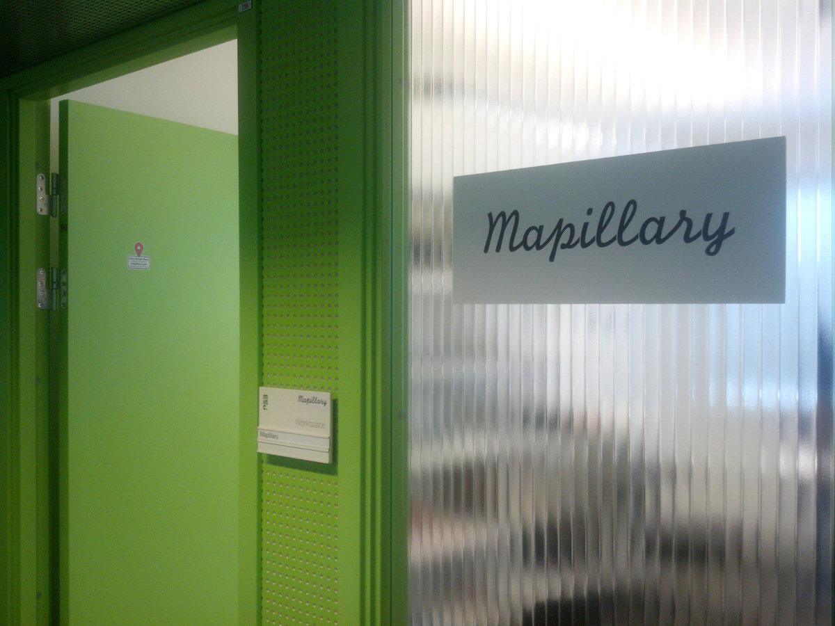
This past week I was lucky enough to be in Malmö, Sweden, where I stopped by the offices of Mapillary, a company rethinking street-view imagery from, well, the street up. (Context: I was in Malmö as part of my other life where I make art, speaking on a panel at The Conference–which was also awesome, and I highly recommend the videos here.)
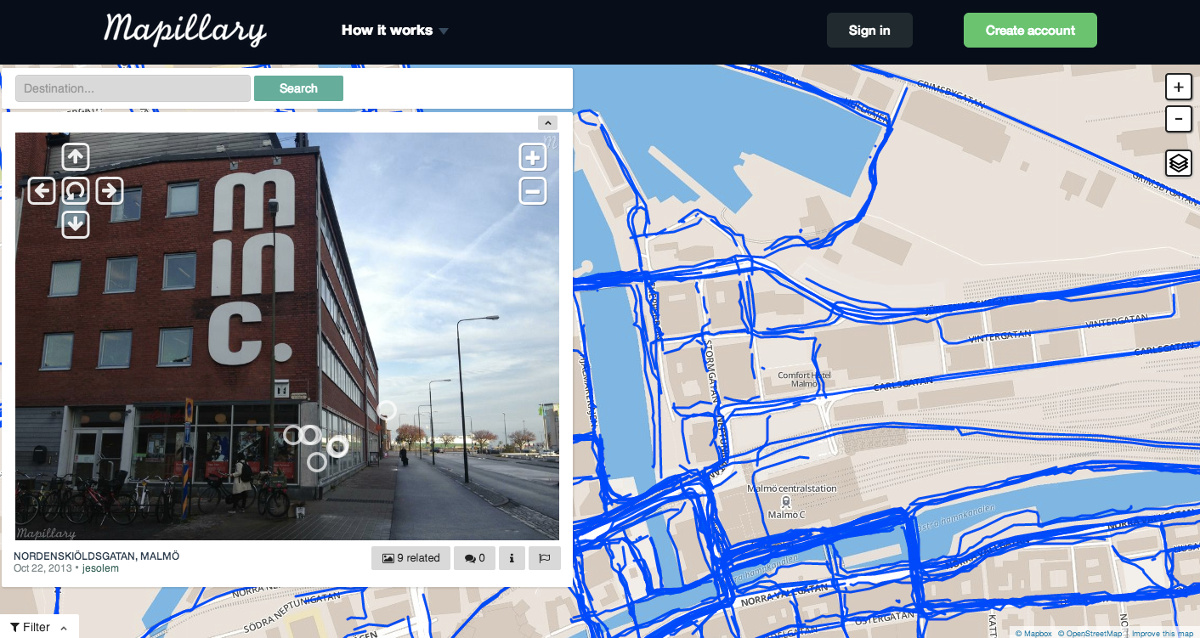
Mapillary is a resource for crowdsourced imagery of city streets, trails, and indoor environments from all around the world, made with the belief that people who live in a city can provide as useful, if not more useful, information about a place as a car passing through with a camera.
Crowdsourced imagery can offer more detailed, regularly updated imagery of a place, and humans can take photos of places and routes that cars might not access–narrow side streets and shortcuts, beaches and hiking trails, or train stations.
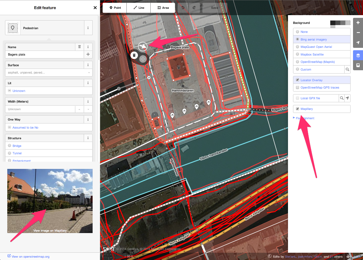
This sort of information is not only super useful for non-driving navigation applications, but it’s also valuable for verifying information about a place–which is why Mapillary recently created a version of ID, the OpenStreetMap editor, that allows users to view available Mapillary imagery when editing an area.
All images added to Mapillary’s public collection are released under a Creative Commons Attribution-Sharealike lisence. You have the option to hide photos if you so choose, and they’re currently working on providing a private repo service for things like organizations documenting infrastructure or construction projects over time. Images uploaded to Mapillary are processed to blur faces and lisence plates, just like that other Street View application you might know about.
I’m looking forward to seeing what people contribute to and build with Mapillary. They already have millions of images, and I’ll probably be adding more of New York (you can get their app for iOS and Android).
Take a look at some of their project examples and their API docs and see what you could do with Mapillary imagery. There’s lots of potential–using computer vision to find and geolocate POIs, previewing the scenery of your proposed bus line made in TransitMix, or showing changes to a neighborhood over time.
Thanks to Jan Erik, Peter, Yubin, and Peter for having me at the office–you are always welcome in New York!
