Mapzen is joining Open Traffic, a global initiative led by the World Bank to measure urban traffic congestion. The Open Traffic platform collects anonymous location information from smartphones and converts this raw data into real-time and historical transportation statistics connected to OpenStreetMap. Mapzen is leading development of the platform, and a wide-range of transportation providers are agreeing to contribute anonymized and aggregated data. To learn more about what we’ll be doing together, read the World Bank’s press release.
Want to see the potential of Open Traffic? Here’s an animated map of traffic in Manila, the most dense city in the world:
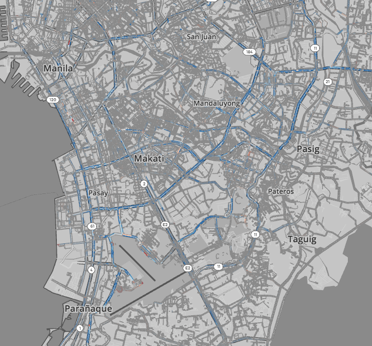
( Open as a full-screen map with interactive controls to pan through time ➹ )
This based on 11,078,169 measurements of ride-share vehicle positions from Grab, the largest ride-share operator in Southeast Asia. The positions have been anonymized, aggregated, and summarized to capture the ebb and flow of traffic throughout Manila on August 5, 2016. Open the map to explore.
Soon these kinds of interactive visualizations and analyses of urban traffic will be simple and accessible for all—no custom data-munging required. We’ll also be working with the World Bank and its partners to build traffic-influenced routing into Mapzen Turn-by-Turn. Previously we’ve demonstrated how Valhalla, the open-source routing engine that powers Mapzen Turn-by-Turn, is ready to take real-time and historic traffic conditions into account—soon that will be possible using fully open-source software and open data.
Traffic is a shared problem. Let’s work together on the solution using an open, shared data platform. Read more about it on the World Bank’s feature story.

